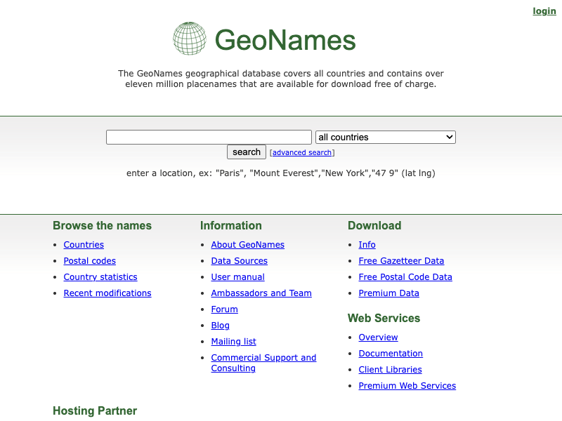
GeoNames API
The GeoNames API is a powerful tool for accessing a vast database of geographical information. It allows users to retrieve data on over 11 million locations worldwide, including cities, towns, and other significant landmarks. This API is particularly useful for developers building location-based applications, as it provides rich details such as population, elevation, timezone, and administrative divisions. Whether you're creating a travel app, conducting spatial analysis, or integrating geolocation features into your website, the GeoNames API offers reliable and comprehensive geographical data to enhance your projects.